
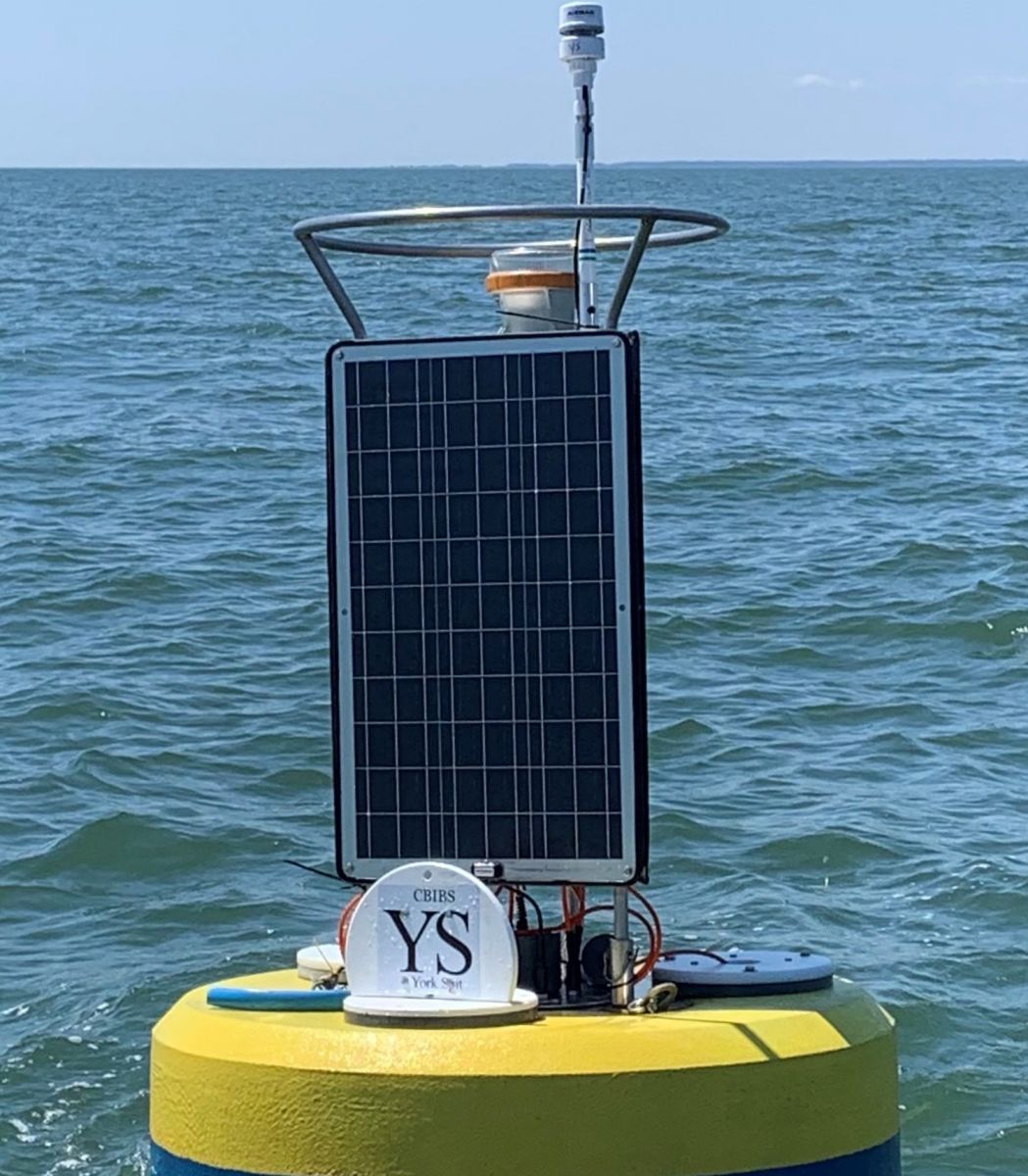
A buoy was first deployed at York Spit on July 8, 2016. While this buoy is located far enough south that it has remained in the water over winters, intermittent data gaps do exist due to equipment failures.
Captain John Smith was a frequent visitor to this part of the Bay; he passed the current-day site of NOAA’s York Spit CBIBS buoy at least nine times during his stay in Virginia: four times on his two round trip voyages of exploration up and back down the Chesapeake’s main stem in the summer of 1608, and five more times on his round trips to Powhatan’s capital of Werowocomoco—about 20 miles up the river—in the winters of 1608 and 1609.
Today, this part of the Bay gets frequent visitors as well—whether they be recreational boaters and sailors, commercial fishermen, or on behalf of maritime interests including the Coast Guard Training Station and Naval Weapons Station at Yorktown. The Virginia Institute of Marine Science is in Gloucester Point on the river’s north shore, just downstream from the Route 17 bridge.
Be sure to check the weather forecast before you head out.
For more information on the history of the York River and areas surrounding the buoy, please visit:
Data from the buoy is available via data tools.